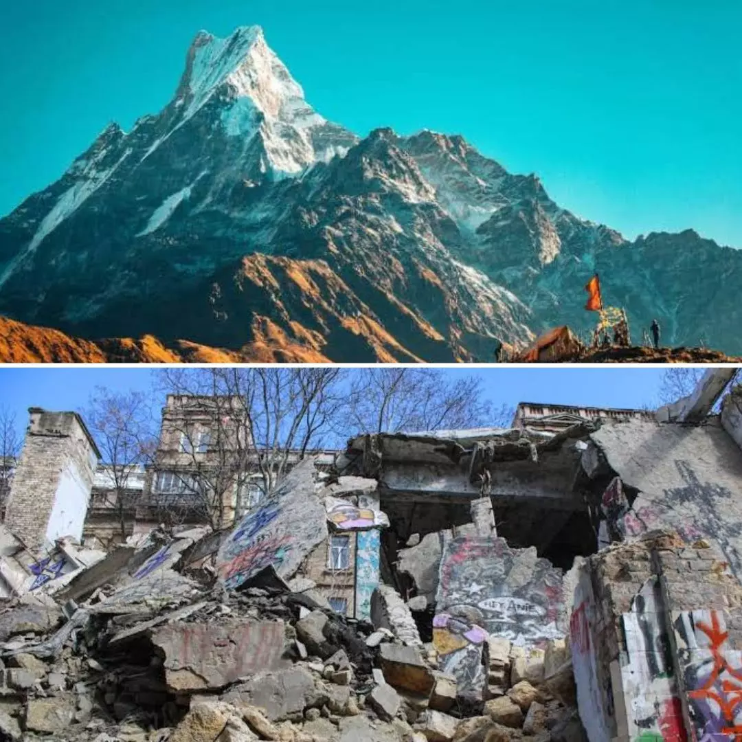
Image Credits: Unsplash, MoneyControl
India & Its Seismic Zones: Turkey Earthquake Brings Back Concerns Over Built-Up Himalayan Tectonic Stress
Writer: Laxmi Mohan Kumar
She is an aspiring journalist in the process of learning and unlearning many things. Always up for discussions on everything from popular culture to politics.
India, 10 Feb 2023 7:25 AM GMT
Editor : Jayali Wavhal |
She writes about gender issues, human interest, and environment.
Creatives : Laxmi Mohan Kumar
She is an aspiring journalist in the process of learning and unlearning many things. Always up for discussions on everything from popular culture to politics.
Several cities within eight states and union territories lie within the Zone 5 categorisation which indicates highest intensity of earthquake risk. With the Turkey earthquake bringing in widespread devastation, India revisits the concern of "How prone is India to Earthquakes?"
In the wake of Turkey and Syria going through one of the most devastating earthquakes in over 80 years, many have raised worries over the question, "How prone is India to Earthquakes?" According to government data presented in the Lok Sabha in 2021, nearly 59 per cent of India's land mass is prone to earthquakes at varying intensities. India's total area has been divided into four seismic zones, with Zone 2 as the lowest and 5 as the highest intensity of earthquake risk. Cities and towns in about eight states and Union Territories fall within Zone-5, and the capital city Delhi in itself is categorised in Zone-4, the second-highest category.
Tectonic Stress Built Over Millions Of Years
According to the data provided, approximately 11 per cent of the country's area falls within Zone 5, 18 per cent in Zone 4, 30 per cent in Zone 3, and the remaining area comes under Zone 2. The central Himalayan region is among the most seismically active zones in the world. For over 700 years, the region has been under tectonic stress, which could potentially be released in the coming years, as indicated by a study in 2016.
The impact of the same continues to be seen in many villages, such as Kangara, which was hit by a massive earthquake in 1905. This was followed by many more such quakes with a Richter scale that crossed over 7.6 magnitude. Seismologists believe that the tremors are a manifestation of the convergence between the Indo-Australian and Asian tectonic plates that built the Himalayan mountains in the last 50 million years.
Earthquake Prone Zones In India
The National Centre for Seismology is the nodal government agency responsible for monitoring earthquakes in and around the country. As per their observations, the states and union territories under Zone 5 include Jammu and Kashmir, Gujarat, Himachal Pradesh, Bihar, Manipur, Assam, Nagaland, and Andaman and Nicobar islands. A seismic mapping of India released by the government in 2021 recorded the following cities under Zone 5 - Bhuj (Gujarat), Darbhanga (Bihar), Guwahati (Assam), Imphal (Manipur), Jorhat (Assam), Kohima (Nagaland), Mandi (Himachal Pradesh), Port Blair (Andaman and Nicobar), Sadiya (Assam), Srinagar (Jammu and Kashmir), and Tezpur (Assam).
They have also noted that Delhi is located near three active seismic fault lines - Sohna, Mathura, and Delhi-Moradabad. A report by India Today also quoted experts stating that Gurugram is the riskiest area in Delhi-NCR, being situated around seven fault lines. If these get activated, a high-intensity quake that could wreak havoc is unavoidable. The national capital, in particular, would experience changes in the tectonic plates as it is close to the Himalayas. This has been shown over time as well, with the Himalayan belt bringing in the Mathura quake (1803), Bulandshahr quake (1956) are other major earthquakes recorded in the vicinity of Delhi-NCR.
 All section


