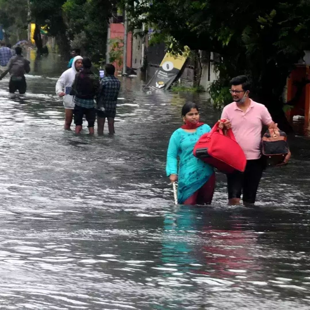
Image Credits: The Times of India
Crowdsourced Map Plays Big Role In Tracking Flooded Regions In Chennai
Writer: Pratibha Sahu
She has completed Bachelor of Arts in Mass Communication from Makahnalal Chaturvedi recently and is currently pursuing a Masters in Advertising And Public Relations. She loves writing on current issues and love voice-overs. She has done internships in content writing, voice-over artist, SEO analyst, social media management, and as a radio jockey too.
Tamil Nadu, 17 Nov 2021 5:38 AM GMT
Editor : Palak Agrawal |
Palak a journalism graduate believes in simplifying the complicated and writing about the extraordinary lives of ordinary people. She calls herself a " hodophile" or in layman words- a person who loves to travel.
Creatives : Palak Agrawal
Palak a journalism graduate believes in simplifying the complicated and writing about the extraordinary lives of ordinary people. She calls herself a " hodophile" or in layman words- a person who loves to travel.
A Tata Centre Project developed by researchers at Massachusetts Institute of Technology, the online tool was reactivated by an IIT Madras professor to track and monitor the rain and flood situation in the city.
The entire country bore witness to the destruction that was triggered due to heavy rainfall in Chennai. While the city administration had been engaged in monitoring and controlling the situation, a flood risk map that could aid in keeping a track of flooded and waterlogged regions within the city was reactivated.
As per reports, this online tool was revived allowing citizens to report on the situation in their areas and similarly keep a track of the status in other sectors via social media. The platform, called Urban Risk Map, was reactivated to aid the government in understanding the impact of rain and floods and assist in devising appropriate measures.
The tool was first developed by the Urban Risk Lab at the Massachusetts Institute of Technology (MIT) and was reportedly activated by Professor Balaji Narasimhan from IIT Madras. It was initially used in 2017 and then deactivated in 2019.
In simple terms, it basically uses city-based people's coverage through social media to help in keeping a track of regions that are waterlogged, and what type of action is required. Through these, adequate plans to tackle the current crisis and prevent a future one are formulated. The tool has permissions for accessing period sensing elements too and through that it visualizes the water level of areas, any water bodies, etc as reported by IndiaTimes.
How Does It Work?
One needed to visit in.riskmap.org.
Soon after, the map of the city appeared with a clear view of affected regions and not affected regions. If somebody wanted to highlight some problem in any region they could do so by reporting and highlighting that area.
It would redirect to Twitter where citizens could report to the riskmap chatbot. After this, a 'share report' option would appear where one could link it to the map and also add images and additional information regarding the situation.
Also Read: Heartwarming! Chennai Police Personnel Celebrate Birthday Of Infant Rescued From Floods
 All section


