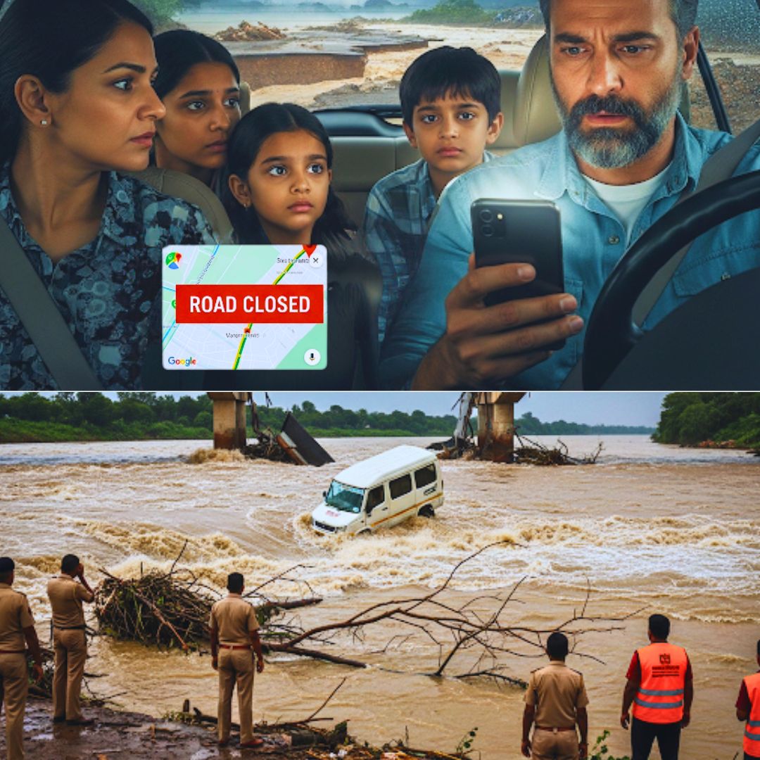
On the night of August 26, a devastating accident unfolded in Rajasthan’s Chittorgarh district when a family van carrying nine members was swept away by the powerful currents of the Banas river. The vehicle was reportedly misdirected by Google Maps onto the Somi-Upreda bridge, which has been closed for over three years due to damage and flooding risks. Despite the bridge’s closure, the van’s driver took the route around 1 a.m., unaware of the danger ahead.
The Banas river was swollen following the release of water from the Matrikundiya Dam, intensifying the river’s force. Rescue operations managed to save five passengers, but tragically, two women and a child perished in the incident, and another child is still missing as search continues.
Authorities have pointed to this accident as a preventable tragedy stemming from navigational errors compounded by inadequate physical road safety measures.
Eyewitness Accounts and Official Responses
Witnesses from nearby villages recounted how the van got stuck on the dilapidated bridge before it was violently swept into the river. Superintendent of Police Manish Tripathi said, “The bridge has been closed for three years and warning signs were posted, but unfortunately, the driver crossed it. The family got stuck, and the vehicle was dragged by the heavy currents.” Local residents were the first to alert authorities and assisted in the initial rescue efforts, emphasising the urgency and scale of the disaster.
The driver, Madanlal Gadri, and four other family members survived by calling for help using mobile phones. Police and National Disaster Response Force (NDRF) teams are engaged in intensive search operations for the missing child, although flood conditions are hampering the efforts.
Safety Flaws and the Digital Navigation Dilemma
This heartbreaking incident highlights critical lapses in rural infrastructure safety and the dangers of relying solely on digital navigation in high-risk areas. Despite the prolonged closure of the bridge, authorities disclosed that barricades were ineffective or inadequate to prevent crossing, and the online map reportedly failed to indicate the bridge’s unusable status correctly.
Officials advocate for stronger barricading and improved, real-time communication of road conditions in flood-prone and rural regions. The tragedy has stirred debate regarding the timely updating of digital maps, especially during monsoon when roads are vulnerable. Google has expressed condolences and stated it is reviewing its maps data to prevent such misguidance in future.
This incident is a stark reminder that technology, without parallel improvements in physical infrastructure and public awareness, can inadvertently lead to disaster.
The Logical Indian’s Perspective
This incident underscores the urgent need for a more harmonious integration of technology with on-ground realities. While GPS technology is invaluable, it cannot replace the necessity for local knowledge, clear signage, and robust safety measures.
The tragedy calls for a shared responsibility between tech companies, government agencies, and communities to ensure navigation tools are continuously updated with accurate information, and physical safety barriers are comprehensive and visible.
The Logical Indian advocates for enhanced public dialogue and policy focus on infrastructural resilience and digital accountability.


