
Image Source: indiandefence, travelnewsdigest
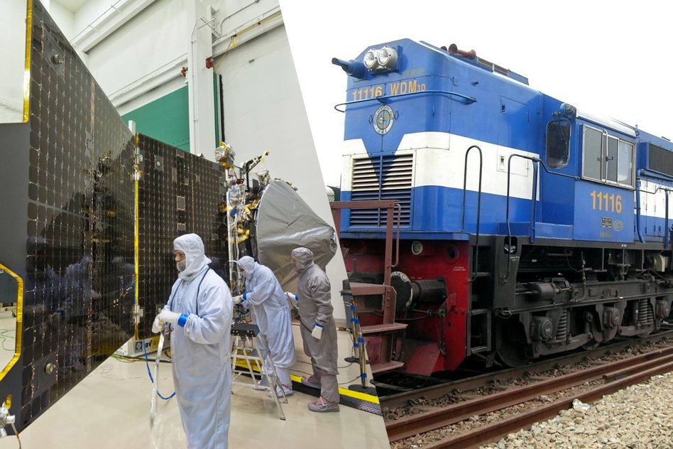
In order to mitigate railway accidents and to make the journey safe, Indian Railways will tie up with Indian Space Research Organization (ISRO) to get satellite images of all the track routes, and to help in navigation.
With the use of geospatial technology, it will be possible to map the rail routes including buildings, land, workshops etc. on the way. This service will be provided by GPS Aided Geo Augmented Navigation (GAGAN) system of ISRO. GAGAN is an indigenous navigation system jointly developed by ISRO and Airports Authority of India (AAI) with a view to assist aircrafts in accurate landing. ISRO made it clear in June itself that it would provide navigational support to the Indian Railways through GAGAN.
With the use of GAGAN software system, trains would know the location of any unmanned level crossing and a warning signal can be given for their reference and it will be very helpful at the time of train accidents when it is difficult to find out the exact location of trains. Completely opposite to what is currently followed in railways, it will be easier to track trains with the technology on a real time basis. As of now, the train movements are tracked manually.
“ISRO will provide satellite-generated information to the railways through space technology based tools that will provide safety at unmanned level crossings,” ISRO Chairman A.S. Kiran Kumar said.
Further adding to what he said was that they are trying to provide space technology-based tools for enabling the railways to deal with unmanned level crossings.
“If water accumulation happens, then based on the digital elevation model data, other host of information which they generate, can be given,” he said.
With the help of remote sensing facility, it will also help in devising solutions for safety at unmanned railway crossings. Drivers on the road can be warned about an approaching train by activating hooters at the crossings.
Above all GAGAN is an indigenous navigational guide system developed on the lines of GPS system of the US. US based Raython is the System Integrator for GAGAN Project of ISRO. It is being broadcast through two Geostationary Earth Orbit (GEO) satellites- GSAT8 and GSAT10.