
Image Source: economictimes
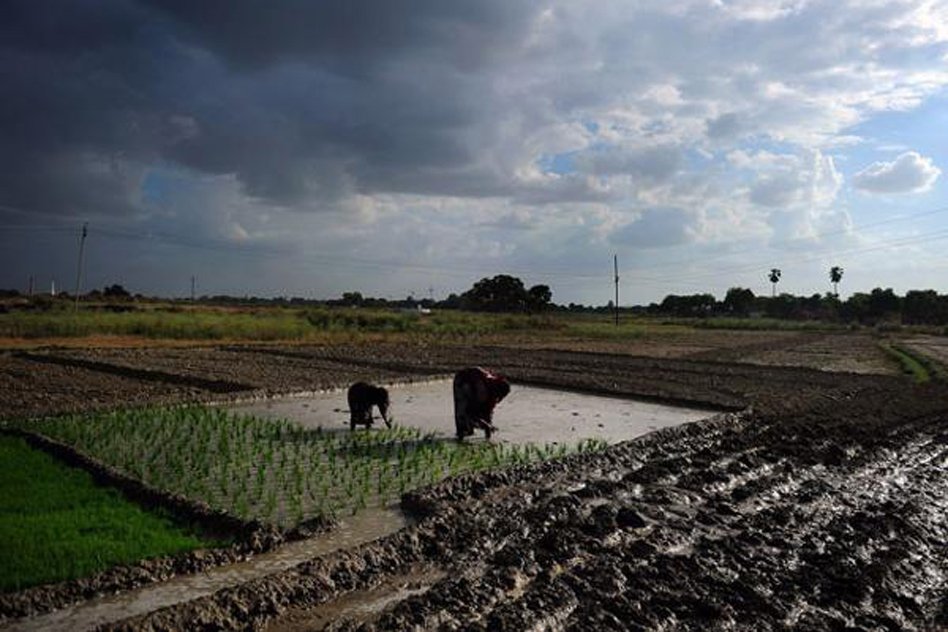
We keep hearing about the woes of farmers and about farmer suicides in our country. Despite being the backbone of Indian economy, farmers are one of the most vulnerable sections of Indian population. Natural calamities are a major cause for much of their plight. There are droughts, floods, and hailstorms which bring about unexpected damage to the standing crops. While it may not be possible to battle against these natural havocs, much can be done to ease the trouble faced by the farmers due to timely intervention by government before and after the damage.
Keeping in view this line of thinking, government of India has launched a pilot project called “Kisan” on 5th October, with the aim of speedy settlement of crop insurance claims to farmers. There are delays in settlements because payment of crop insurance claims is made on the basis of crop cutting experiments. The “Kisan” project endeavours to utilize satellite and drone-based imagining and other geospatial technology in addition to crop cutting experiments in order to gather accurate data on crop yield in a time-bound manner.
Additionally, a hailstorm application has been developed by ISRO in order to collect hailstorm data. Although hailstorms are responsible for large-scale damage to standing crops, till now there was no comprehensive method to collect any data. The application has been developed in order to bridge this gap. The ease with which hailstorm data can be collected using this application through smartphones is the unique selling point of this application.
Photographs of location of hailstorms and the subsequent damage to the crops can be easily uploaded immediately to ISRO’s Bhuvan server. The farmers can also make use of the application after downloading. The data thus gathered can be used by state agricultural department officials to undertake a speedy assessment of damage done to the crops, and thus speedy settlement of crop insurance claims.
The rice and cotton fields of four districts have been chosen for the pilot study during Kharif season – Shimoga (Karnataka), Yavatmal (Maharashtra), Kurkshetra (Haryana) and Seoni (Madhya Pradesh). Eight districts in these four states have also been chosen to conduct the pilot study during rabi season in 2015-16. For this the crops chosen are rice, wheat and shorghum.
The remote sensing data will later be used to estimate the yield of crops at the block level and to develop a new index based insurance approach. If the pilot study proves to be successful, then eventually the entire country will be covered.
The entire programme is a joint venture of Mahalanobis National Crop Forecast Centre, Indian Space Research Organisation, India Meteorological Department, State Agriculture Departments and Remote Sensing Centres, Climate Change, Agriculture and Food Security (CCAFS).
We hail the latest pilot study launched by the central government and wish it all the best for a successful execution of the same. We hope that it eventually covers the entire country and benefits farmers in settlement of their crop insurance scheme in a timely manner.