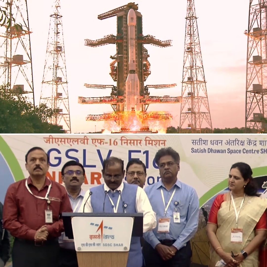
On July 30, 2025, at 5:40 pm IST, the NASA-ISRO Synthetic Aperture Radar (NISAR) satellite was successfully launched aboard ISRO’s GSLV-F16 rocket from the Satish Dhawan Space Centre in Sriharikota, Andhra Pradesh. This joint Earth observation satellite mission has a planned lifespan of five years and is the first collaboration between ISRO and NASA to deploy a satellite with dual-frequency radar technology.
NISAR will study the Earth’s ecosystems and natural hazards worldwide, using sophisticated imaging to map changes in land, ice sheets, oceans, and more. The launch also marks ISRO’s first GSLV mission to a Sun-Synchronous Polar Orbit, setting a new milestone in India-US space cooperation.
Historic Lift-Off and Mission Highlights: A New Chapter in Earth Observation
At exactly 5.40 pm, the GSLV-F16 rocket carrying the 2,392-kilogram NISAR satellite lifted off smoothly from the second launch pad at Sriharikota. The spacecraft hosts two synthetic aperture radars: NASA’s L-band radar and ISRO’s S-band radar, making it the world’s first dual-frequency radar imaging satellite to continuously observe Earth’s surface with centimetre-level precision.
Equipped with innovative SweepSAR technology, NISAR will orbit approximately 743 kilometres above Earth and scan the entire planet every 12 days. Scientists will use the data to monitor natural hazards including earthquakes, tsunamis, landslides, and volcanic activity, as well as provide critical insights on glacier and ice sheet dynamics, deforestation, crop conditions, storm tracking, and soil moisture changes.
Following launch, NISAR will enter a 90-day commissioning phase involving extensive instrument calibration and testing before commencing full science operations.
NASA-ISRO Collaboration: A Decade in the Making with Global Impact
The NISAR mission originated from a collaboration conceptualised a decade ago, formalised in 2014 through an agreement between India’s Prime Minister Narendra Modi and US President Barack Obama. It represents a landmark in bilateral space science, combining NASA’s and ISRO’s technological expertise.
Both agencies jointly developed parts of the satellite and its radar instruments, executing rigorous integration and testing across continents during the challenging COVID-19 pandemic period. NASA’s Jet Propulsion Laboratory deputy chief scientist Sue Owen highlighted, “For the first time, NASA and ISRO have worked closely with significant hardware contributions from both sides.”
The mission aligns with global scientific goals to better understand Earth’s changing environment and to enhance disaster preparedness with near real-time data availability accessible to governments, researchers, and disaster management agencies worldwide.
The Logical Indian’s Perspective
The successful launch of NISAR exemplifies how international cooperation in science and technology can foster deeper understanding and stewardship of our planet. The Logical Indian celebrates this milestone as a symbol of peaceful collaboration transcending borders for the common good.
As the world confronts escalating climate crises and natural disasters, partnerships like NISAR inspire optimism that science-driven diplomacy can empower humanity to respond collectively and wisely.
Go NISAR! 🚀
— NASA (@NASA) July 30, 2025
The joint NASA-India satellite aboard @ISRO's Geosynchronous Launch Vehicle launched from the southeast Indian coast at 8:10am ET (1210 UTC) on its mission to monitor Earth's changing land and ice surfaces. pic.twitter.com/2Y3LUxlM2D


