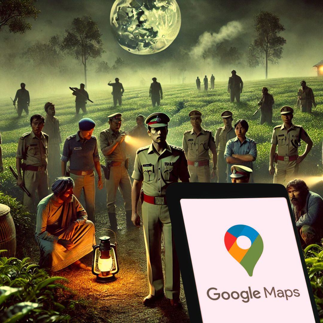
A 16-member Assam Police team, reportedly misled by Google Maps, inadvertently entered Nagaland’s Mokokchung district while pursuing a criminal suspect. According to Assam Police, the officers, mostly in civilian attire, were mistaken for armed miscreants by local residents, leading to a confrontation where one officer was injured. The team was detained overnight by the villagers and was subsequently rescued by Nagaland Police, highlighting the challenges posed by technological errors in sensitive border areas.
Assam Police Navigational Error
The incident occurred when a crime investigation team from Jorhat, Assam, relied on Google Maps for navigation during a nighttime operation to apprehend a suspect. The digital map reportedly misrepresented a tea garden located in Nagaland as being within Assam’s territory, leading the team across the state boundary into Mokokchung district.
With only three officers in uniform and the rest in civilian clothing, the heavily armed team was mistaken for miscreants by local villagers. A senior Assam Police official stated, “The situation was a result of both a navigational error and long-standing inter-state tensions.” During the ensuing confrontation, one officer sustained injuries before the team was detained overnight. Their release was secured the following day through the intervention of Nagaland Police.
Historical Border Disputes and Technological Vulnerabilities
The Assam-Nagaland border has a history of disputes, often leading to tensions between communities on either side. This incident underscores the complexities of operating in such sensitive regions, where technological tools like Google Maps may not accurately reflect on-the-ground realities. The misrepresentation of territorial boundaries by the navigation app played a critical role in this mishap, exposing the limitations and potential risks of over-reliance on digital navigation aids in disputed or poorly mapped areas. The prompt response by Nagaland Police in rescuing the detained Assam Police team helped de-escalate the situation and prevent further misunderstandings.
The Logical Indian’s Perspective
This incident highlights the pressing need for improved inter-state coordination and communication, especially in regions with historical territorial disputes. It also calls attention to the importance of verifying digital information with local knowledge to prevent such occurrences. As technology becomes increasingly integrated into law enforcement operations, ensuring the accuracy and reliability of digital tools is paramount.
How can state authorities and technology providers collaborate to enhance the precision of digital navigation systems and prevent such potentially dangerous misunderstandings in the future? Let us work towards solutions that foster dialogue, accountability, and coexistence.


