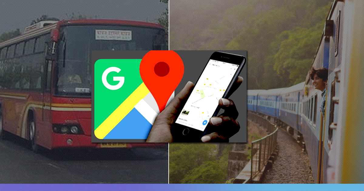
From helping us to reach our destinations to providing us with information about the places which are congested during a particular time of day, Google maps have always proved to be a useful resource for us. And now recently, Google introduced three new navigation features in Google Maps to help commuters in India.
Google Map users across 10 of the largest cities in India will be able to see bus travel times from live traffic, get live train status for Indian Railways, and get mixed-mode commute suggestions that now combine auto-rickshaw and public transport.
While announcing the new India-first features, Google Maps Product Manager Taylah Hasaballah said, “We at Google are focused on building Maps features that will help in providing a more relevant, accurate, and reliable experience for commuters. Transit navigation is one of the most renowned Maps features in India, and we look forward to these new features which will bring more value to users.”
Real-Time Bus Travel Data
Google Map users will be able to view bus travel estimates based on live traffic. By using Google’s live traffic data as well as public bus schedules, Google Maps will be able to show the delay a person might face during their bus journey. Whenever there will be a delay, users will see a message in red colour which will tell the amount of time by which the regular commute time will be extended because of traffic conditions or other causes. Commuters will see the transport time in green colour, in case there is no delay in the travel time.
Google Map users in Bangalore, Chennai, Delhi, Hyderabad, Mumbai, Coimbatore, Surat, Lucknow, Pune, and Mysore can use this feature by entering their starting location and destination and then tapping on the transit tab.
Live Train Running Status
Google Maps will now help users to know when their train would arrive by showing the real-time live running status of the train. According to Google’s official blog post, a user can search for his starting location and destination to view the list of trains that he/she can take between the routes. And from there, a person can view live train running status. This feature of Google Maps was developed in collaboration with the Where is My Train app that Google acquired last year.
Mixed-Mode Directions With Auto-Rickshaw Recommendation
This new feature in Google Maps will help the users in undergoing journeys that combine auto-rickshaw and public transport. Google wrote in its blog that the public transport tab on Google Maps will now tell you when taking such a journey is a good option, how long it will take, which station you should take an auto-rickshaw to/from. With the help of this new feature, the user will be able to see the rickshaw meter estimate and departure times for his/her transit connection. Initially, this feature will be available in Delhi and Bangalore and will soon be extended to other cities.
Also Read: This 10-Yr-Old Girl Invented A Coding Board Game & Turned Down A Job Offer From Google


